

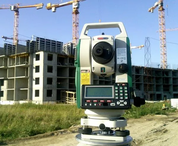
Engineering and geodetic surveys:
- establishment (extension) of geodetic control networks, including special-purpose geodetic networks for construction;
- topographic surveying, including surveys of underground and above-ground structures;
- updating of topographic and cadastral plans and maps;
- setting out of design elements on site and their horizontal and vertical referencing;
- engineering hydrographic surveys;
- preparation of engineering topographic plans of the route and its alternatives, survey plans and individually designed sections;
- preparation of longitudinal route profiles with alternatives;
- preparation of approach plans for the end points of the route of the designed linear facility (substations, sewage pumping stations, water pumping stations, etc.);


Engineering and geological surveys:
- route observations (reconnaissance survey);
- geophysical investigations;
- field testing of soils;
- hydrogeological investigations;
- seismological investigations;
- long-term (stationary) monitoring;
- laboratory testing of soils and groundwater;
- investigation of the foundation soils of existing buildings and structures;
- forecasting of changes in engineering and geological conditions;
- laboratory support for earthworks.